
Aim
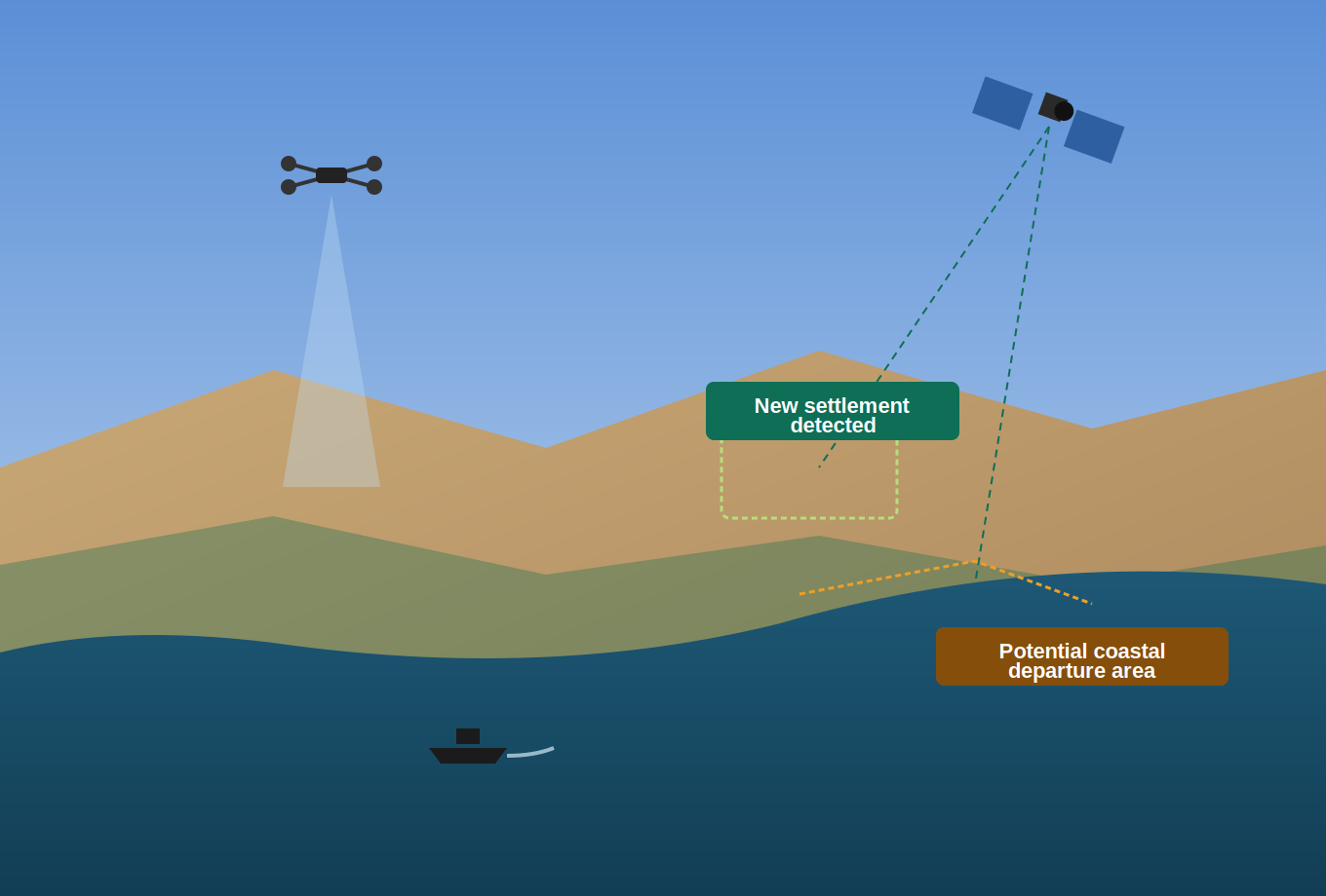
The aim of PUC1 is to develop and demonstrate new border and maritime surveillance capabilities in coastal areas and near the EU’s external borders for the purposes of migration-related situational awareness mainly the automatic identification of migrant’s settlements and potential coastal departure areas. These capabilities will use Copernicus data, as well as data from Copernicus Contributing Missions (CCMs) and other commercial constellations. They will also use data collected from ground-based imaging sensors and UAS payloads, as well as non-space data such as open-source data from social networks and media, and statistical, economic and demographic data. These data will be used to address the issue of increased migrant flows due to various drivers, mainly environmental, political and security-related. The pilot use case brings together all the information, components and workflows generated by the previous use cases into a common validation framework. It serves as the final integration and demonstration platform to assess system performance, interoperability and operational suitability.
Objectives
The key objectives are the automatic identification of new settlements and potential coastal departure areas within the areas of interest, as well as existing coastal departure areas. Furthermore, it aims to provide access to the large-scale migration of people due to migration drivers. Expected benefits include the development of new capabilities using GeoAI and ML for data fusion and processing, as well as the automatic identification and analysis of features within areas of interest.